Have you ever found yourself lost in thought wondering what it would look like if some of the United States’ most important transportation infrastructure was abandoned and left to return to nature? Would what is left behind even be recognizable in 100 years? And exactly what kind of natural state would these areas take on after a century has passed? As a SIP Fellow for the Cuyahoga Valley National Park (CUVA) this summer these are some of the questions I will be answering during my time with the Park.
I am Chris Poling, a Master’s student in Environmental Biology and Conservation at Kent State University. My passion is botany and native plant conservation. During my recent graduate and undergraduate studies I have been a part of several northeast Ohio botanical survey projects, ranging from long term vegetation surveys to rare plant inventories. I also work during the academic year at Kent State’s exemplary Tom S. and Miwako K. Cooperrider Herbarium which is one of Ohio’s largest herbariums. My background in botany makes me particularly well suited for my project at the Cuyahoga Valley National Park, which I’m extremely excited to share with you!
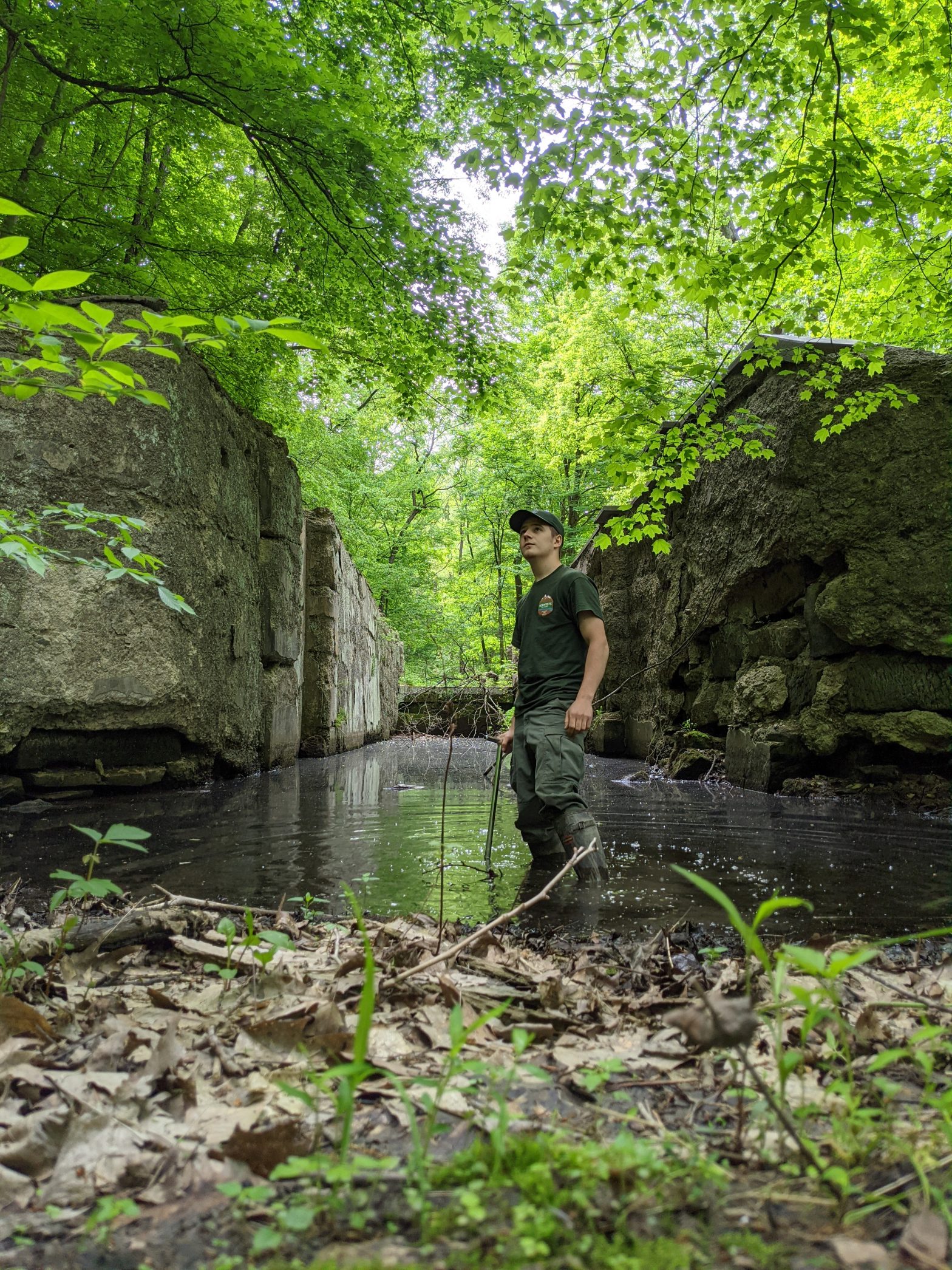
The Ohio and Erie Canal, dating back to the 1840’s was, at one point, one of northeast Ohio’s most important means of transportation of raw goods and materials. However, by the 1930’s the majority of the canal was abandoned and left to revert to a more natural state as more modern means of transportation emerged in the region, relying on other infrastructure such as highways and railroads. Twenty-two miles of the canal were eventually incorporated into the Cuyahoga Valley National Park in the mid-1970’s. By this point the majority of the canal was fully revegetated and only the canal embankments were recognizable, in addition to large concrete structures called locks, which regulated water levels within the canal.
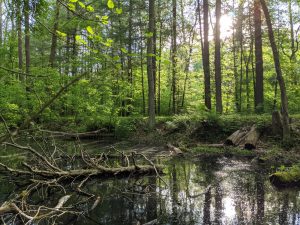
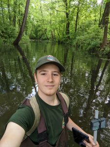
During my time at CUVA, I will be performing wetland delineations and mapping habitat types within a 10-mile stretch of the canal. These surveys are heavily dependent on plant identification, as the vegetation communities that have formed in the canal, after close to a century of being left unmaintained, are unique. Being able to distinguish between upland plant species and hydrophytic plant species is critical to proper wetland delineation. Specifically, the aim of my project is to generate maps for CUVA, using GPS and ArcGIS software, delineating where wetlands are present within the canal. In addition, I will also be mapping the various wetland habitat types that have formed in the canal over the past 90 years. Upon completion of this work, I will be providing the Natural Resources Department at CUVA with recommendations on how to best manage these wetlands in the future, to maximize their vitality. Finally, I will be developing a dichotomous key to aid others in identification of the various unique wetland habitat types that have formed in the canal. This work will then be incorporated into a larger cultural landscape report on the canal.
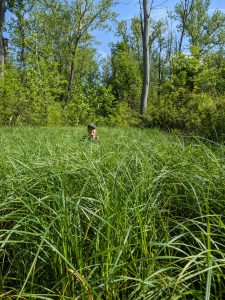
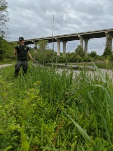
The landscape around me can be quite dynamic at times as I survey the canal. I am struck with the nuanced beauty of the natural areas within the landscape as well as the urban to natural area integration found along the Ohio and Erie Canal. At times I find myself exploring ruins of the almost 200-year-old canal, as it seemingly meandered its way into the surrounding forested hills, only to eventually disappear completely. The next day I then find myself wading through hip-deep marshland within the canal while a 175’ viaduct bridge soars over my head with hundreds of cars passing over me. It’s truly exciting to get to work in such a dynamic park and I look forward to sharing with you further discoveries and accomplishments I make as I continue to explore this wild, yet tamed cultural landscape.