Integrating geographically isolated wetlands into land management
Mark Rains is a Professor of Geology and the Director of the School of Geosciences at the University of South Florida, where he studies hydrological connectivity and the role it plays in governing structure and function in aquatic ecosystems. He shares this Frontiers Focus on how to integrate geographically isolated wetlands into land management decisions from a paper published in the August 2017 issue of ESA Frontiers.
Wetlands are valuable ecosystems that provide a host of services to humankind. They retain water for flood control, provide habitat for diverse flora and fauna, and prevent pollutants from reaching other wetlands, streams, rivers or estuaries. However, they are being lost at rapid rates even with an increase in global conservation efforts. Geographically isolated wetlands (GIWs), wetlands completely surrounded by uplands, are particularly vulnerable to this loss.
GIW protection is often based on a case-by-case examination of their connectivity to, or effects on, downstream waters. The connectivity of GIWs, i.e., “GIW connectivity,” occurs via water flowing from the wetland on or beneath the land surface. Scientists and managers are challenged by existing measurement and modeling tools to integrate GIW connectivity in land management decisions. For example, it is difficult to measure and conduct an analysis on each of the 8.3 million GIWs across the United States.
In the August 2017 issue of Frontiers in Ecology and the Environment, we address the real-world challenge of protecting and managing GIWs. We discuss the need for GIW management tools, synthesize current knowledge on integrating GIW connectivity into measurements and models, provide guidance for selecting tools for characterizing GIW connectivity, and identify future advancements for integrating GIWs into the next generation of measurements and models for research and management purposes.
We argue that integrating novel measurements and modeling approaches for the specific management question at hand will provide converging evidence of GIW connectivity, which is essential for improved decision making. Scientists and managers must work together in the development of such integrated tools for quantifying GIW connectivity.

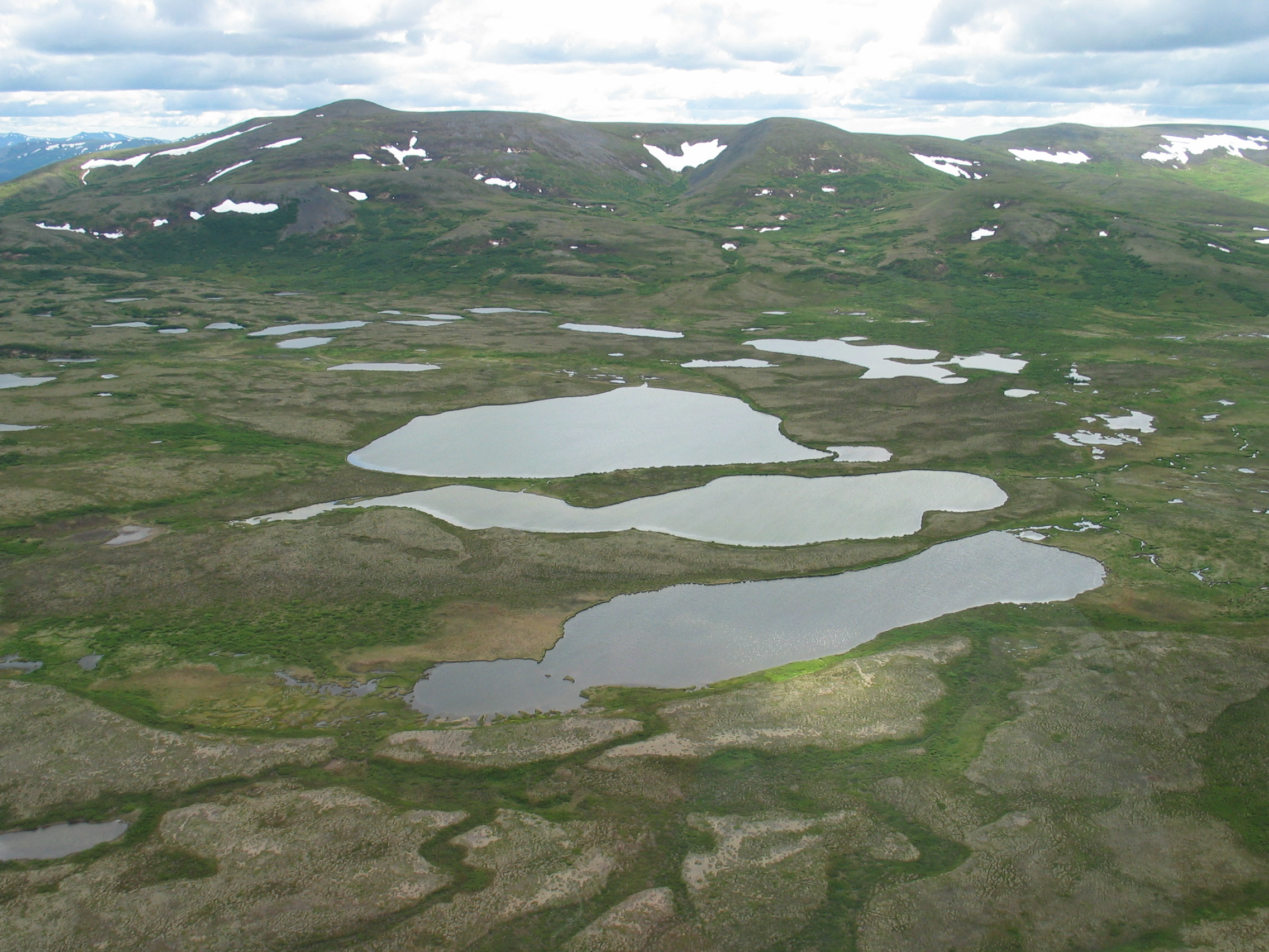
Subarctic ponds in southwest Alaska play an important role in groundwater recharge. However, since they are closed-basin depressions with limited surface-water connection to downstream waters, they may not be adequately protected by regulatory programs. Credit: Mark C. Rains
Heather E. Golden, Irena F Creed, Genevieve Ali, Nandita B. Basu, Brian P. Neff, Mark C. Rains, Daniel L. McLaughlin, Laurie C. Alexander, Ali A. Ameli, Jay R. Christensen, Grey R. Evenson, Charles N. Jones, Charles R. Lane, and Megan Lang, (2017) Integrating geographically isolated wetlands into land management decisions. Frontiers in Ecology and the Environment doi:10.1002/fee.1504